


Hello Interactors,
This week I’m coming to you from Kansas City. My plan was to avoid the hot and humid Midwest summer to visit family, but instead I’m battling a heat wave and soon a thunderstorm. It made me wish I’d done a post on weather maps.
As a result, this week’s installment is a review of my spring posts on cartography as we approach the last week of the season. Next up is summer and the role the physical environment plays in the interaction of people and place.
This spring I’ve chronicled the role various elements of map-making have played in the formation of the United States. Starting with an ancient history of cadastral mapping and how Thomas Jefferson took a page from the Egyptians and the Roman empire, then the progression of organized surveying for land capture across the country, and finally how maps serve as forms of persuasion, manipulation, and control.
I’ll be back next week with the final post of the season.
Now let’s go…back to April.

01 : A Groma from Rome Finds a New Home
How large scale precision cartography rose and fell with the Roman Empire, disappeared for centuries, and then re-emerged in the rise of a new empire.
This post looks behind the origins of the neatly organized geometry that chop most of America into a Cartesian grid. Mapmaking’s history dates back to ancient times – as do the motivations behind them. While maps help us to better understand and interact with the world, they also help establish authority and control.
https://interplace.io/p/a-groma-from-rome-finds-a-new-home

02 : A Nation Squared
How Thomas Jefferson's vision of a gridded nation squared with his desire for an interracial slave-free 'Continental America'.
Jefferson had appointed Thomas Hutchins to be Geographer of the United States in 1781. In 1784 Jefferson was preparing for expansion west and was combing over Hutchins’ descriptions of what lie west of his beloved Virginia. Jefferson was dubious of Hutchins’ mapping facts and took it up with him in a personal correspondence. What follows is the unfolding of a cartography project of Roman scale. And the birth of an empire.
https://interplace.io/p/a-nation-squared

03 : Miami Priced, Ohio Diced
From war veteran cronies scheming a land grab at a bar in Boston to the banks of the Ohio River with the threat of angry native resistors breathing down your neck.
Thomas Jefferson had a vision of a neatly portioned empire, just as the globe was neatly partitioned into a grid of latitude and longitude lines. Sure he wanted land for farmers, but he also needed to extract property tax revenue to fill the newly formed government’s coffers that had been emptied by the Revolutionary war. The task of surveying and mapping fell on the shoulders of America’s first and only chief Geographer, Thomas Hutchins. Like most things in colonial America, it wasn’t easy.
https://interplace.io/p/miami-priced-ohio-diced
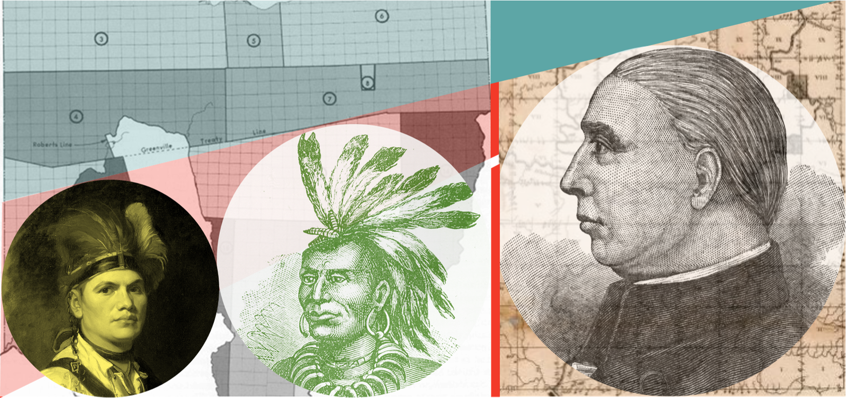
04 : Guns, God, and Gold
A quest for wealth leads to pain through the crafting of a cartesian plane as war breaks out across the Ohio plains.
This is the third in a series on the role surveying and cartography played in the establishment of the United States. It continues further west into Ohio in the lead up to the 1800s. The U.S. government needed money to fulfill their dreams of being a global superpower. And it all hinged on Jefferson’s plan to extract money from neatly surveyed squares of land occupied by sovereign Indigenous nations who had been here for thousands of years. They were not going to give in easily and they never will.
https://interplace.io/p/guns-god-and-gold

05 : Make Your Own Survey in Under a Day
How Thomas Jefferson’s vision of mapped agrarian squares was realized by farmers dividing their own shares.
This wraps up the April series on the role large scale surveying played in determining how people of the United States of America interact with each other and the government. Jefferson had a vision for the country that combined his desire for agrarian expansion west and building an empire. It turned out to be easier for farmers to claim land than he could have imagined.
https://interplace.io/p/make-your-own-survey-in-under-a-day

06 : You Are What You Map
How triangles, topology, quadrangles, and cartography yield maps that can skew both messages and time.
This branches into topography and the role western colonial expansion plays in the creation and articulation of our naturally occurring geography. Most of us are not very skilled at critiquing the role maps have played in shaping how we see the globe and the people on it. However, I’m optimistic that when we do we can better confront the boundaries that maps have created between people and place.
https://interplace.io/p/you-are-what-you-map

07 : The U.S. Census: Mapping a Sense of Us
How a Swedish Zoologist and the birth of census 'big data' led to American racism at the hands of statisticians and geographers.
We’re learning every day just how embedded racism is in the workings of the American polity. This post is critical of America’s cadastral and topographic cartography past. It weaves together European scientific determinism, early ‘big data’ authoritarianism, and White supremist cartography.
https://interplace.io/p/the-us-census-mapping-a-sense-of

08 : Boomtown Maps
A tip on a canoe leads to the rise of a Midwest metropolis as mapping goes social.
Most of spring chronicled the spread of cadastral mapping across America. It was all part of Jefferson’s gridded agrarian vision. But by the middle of the 1800s immigrants started flooding in, the industrial age was taking hold, and cities became the thing to map.
https://interplace.io/p/boomtown-maps

09 : Winning Over the Windy City with Watercolors
Shaping a crowded city of crime and pollution with a water soluble solution.
Chicago was bursting at the seams at the turn of the century. People were stressed, companies were panicking, and something had to be done. They needed a plan; a map of a 20th century city. They needed someone to draw a picture, ease their minds, and persuade Chicago’s industrial elite.
https://interplace.io/p/winning-over-the-windy-city-with

10 : Maps as Logos; Atlases that Impose
Countries are branded with maps as their logos while national atlases sell their brand.
The shape of national maps are no accident. They’re not even natural. They’ve been created with intent. Yes, they represent political boundaries, but they also sell a brand. Politics is where the brand of a country begins. And maps, like flags, can serve as logos.
https://interplace.io/p/maps-as-logos-atlases-that-impose
If you enjoy Interplace, please tell your friends! And don’t be shy about liking and commenting on my posts or podcasts. If you don’t like what you’re reading or would rather not comment publicly, please drop me a note. I’d love your feedback!
Thanks to all of you that have supported me this far. It’s really exciting seeing the number of subscribers grow and the encouragement from many of you. Keep it up, spread the word, and thanks again for the love!
Now, let’s check on that thunderstorm.
Brad


